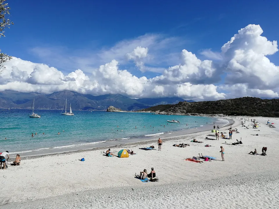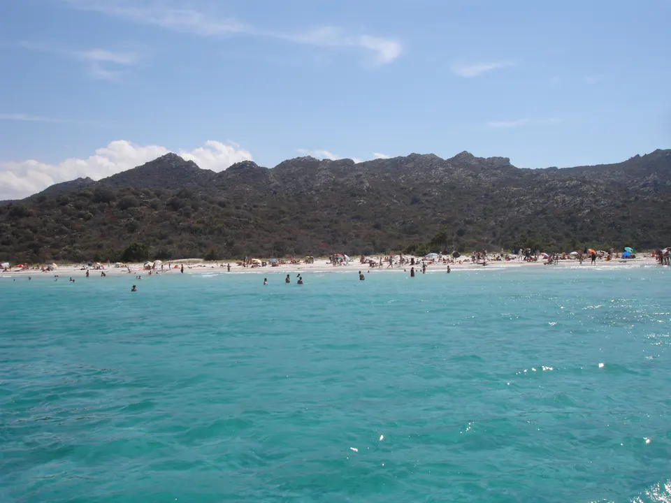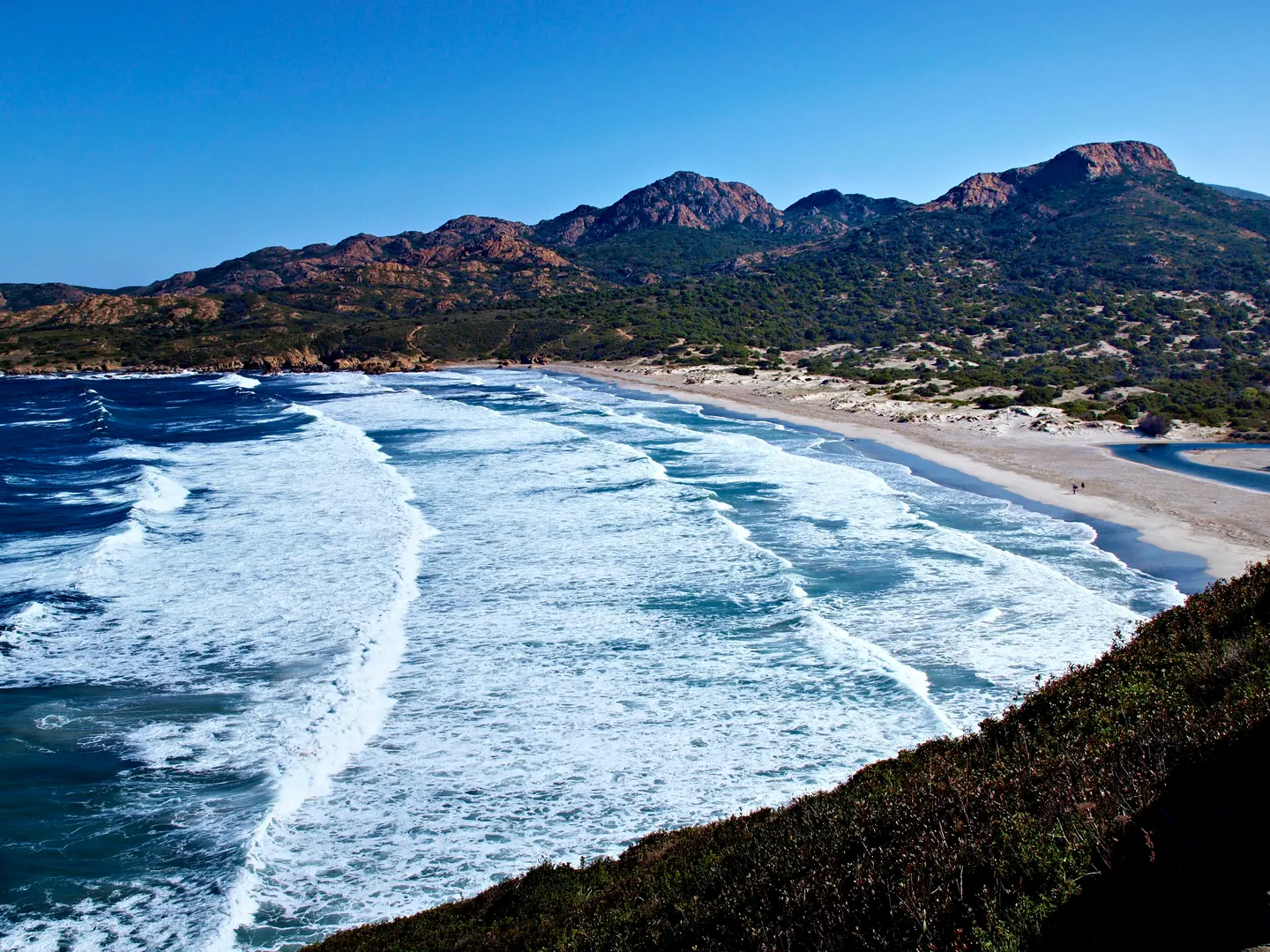
The Ostriconi is the large beach at the western end of the Agriates Desert, in the municipality of Palasca, at the mouth of the river of the same name. Unlike the other Agriates beaches, you reach it by road: it is 14 km and 24 minutes from L'Île-Rousse on the RT30, then a few minutes' walk from the car park. Its dunes and wetlands are protected by a biotope order, and the site is listed. Facing west, it often gets a swell. It is also the start or end of the coastal path to Ghignu and Saint-Florent.
Key facts
- Road access: 14 km and 24 min from L'Île-Rousse, 46 min from Saint-Florent (OSRM).
- Dunes and wetlands protected (biotope order, 100 ha); listed site.
- Exposed beach: frequent swell and currents, swim with care.
- Start of the coastal path: about 6 h to Ghignu.
Key facts
| Fact | Detail |
|---|---|
| Municipality | Palasca |
| From L’Île-Rousse | 14 km, 24 min on the RT30 |
| From Saint-Florent | 35 km, 46 min on the D81 |
| From Calvi airport | 36 km, 47 min |
| Protection | listed site, biotope order (dunes and wetlands, 100 ha), ZNIEFF (372 ha) |
| Hiking | start of the coastal path to Ghignu (20 km, about 6 h) |
Driving times: OSRM on OpenStreetMap. Protection: Wikipedia.
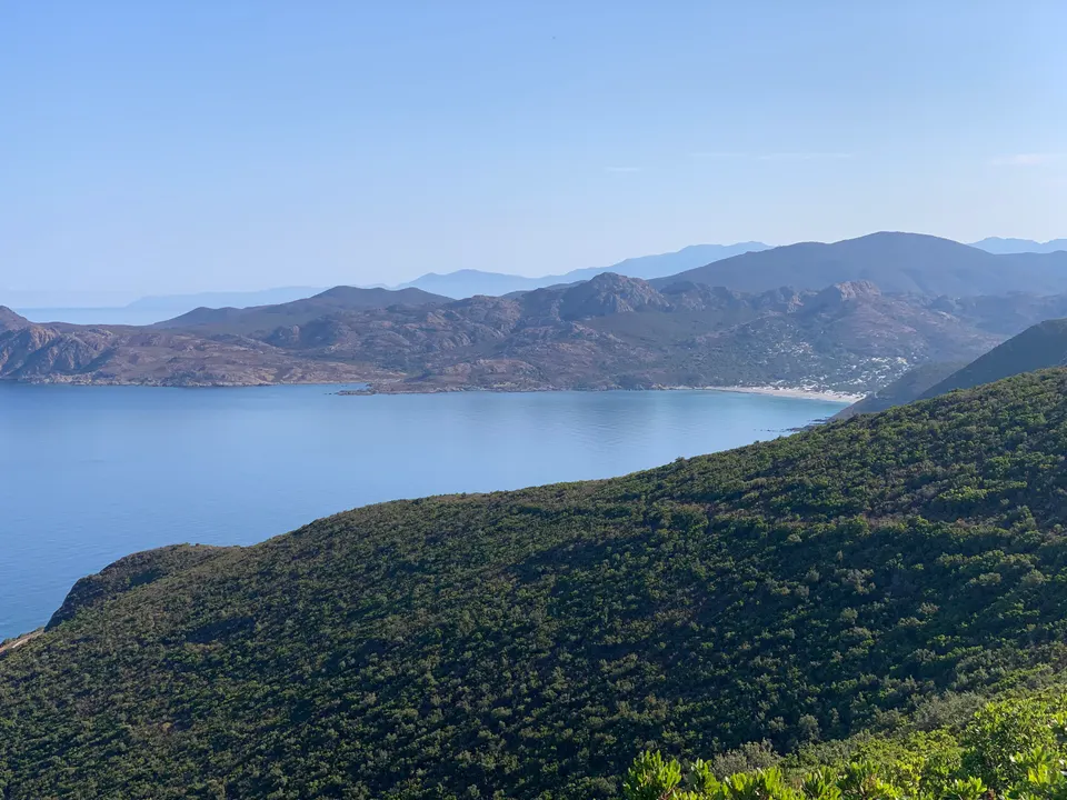
The beach
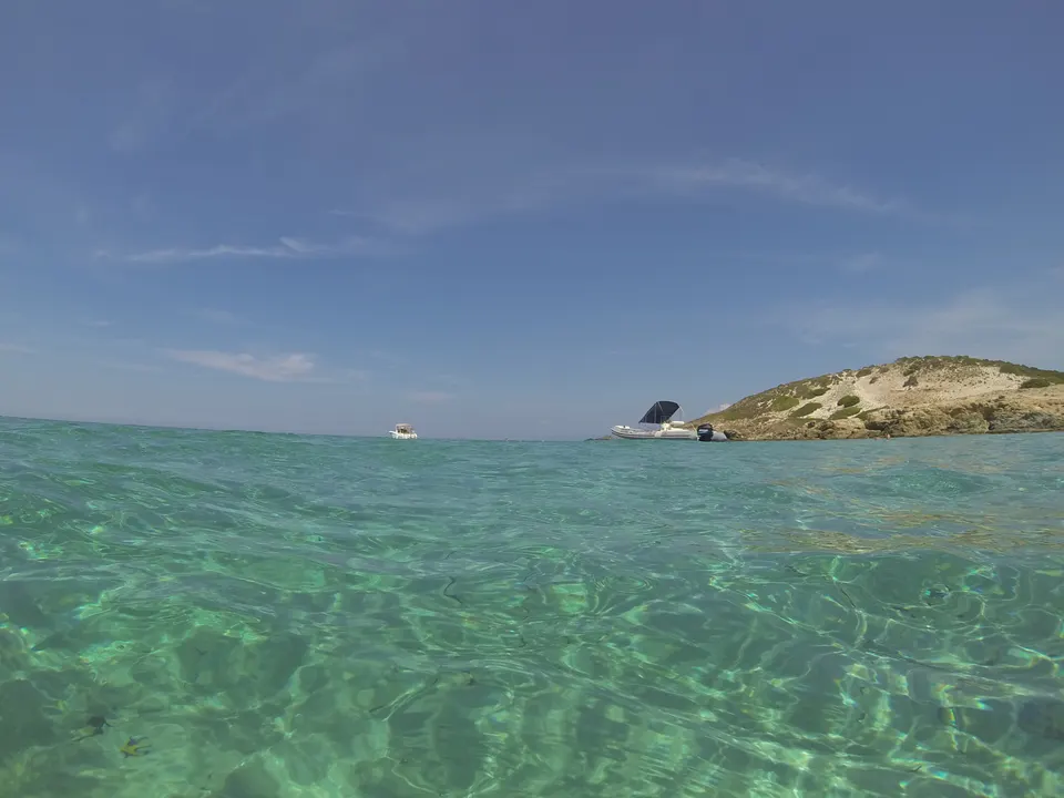
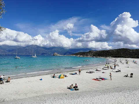
The Ostriconi is a long sand beach where the river meets the sea, with dunes, a lagoon and meadows behind it. It is the most dune-like landscape in the Agriates. The beach faces west and north-west: it takes the swell and the wind, which also makes it a wave spot. When the sea is calm, the water is as clear as in the east.
The start of the coastal path
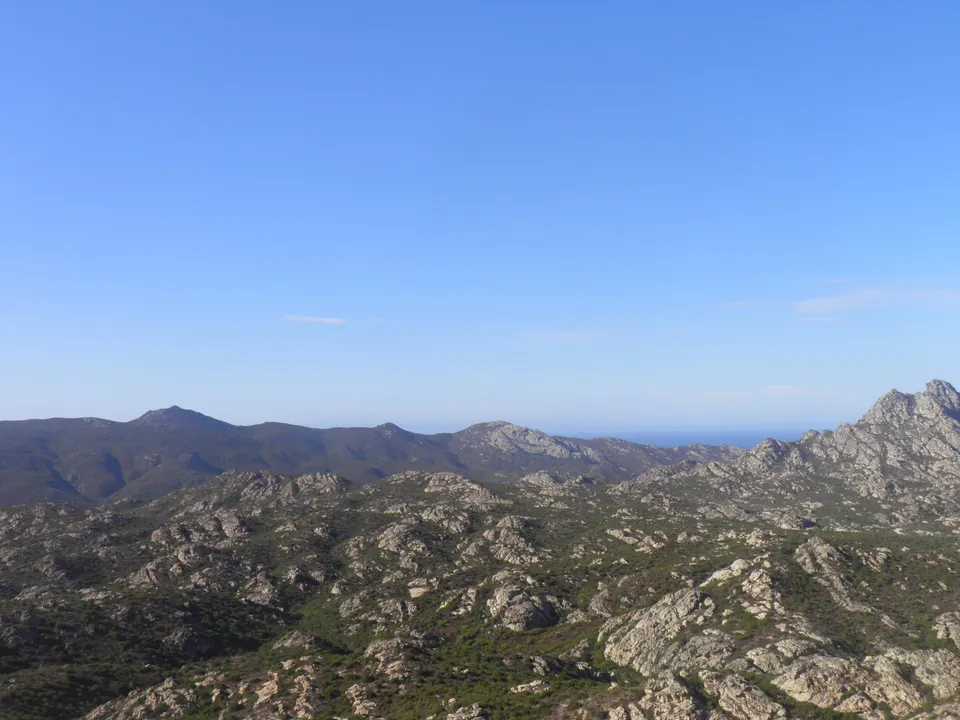
This is where hikers crossing the Agriates from west to east set off. The first stage leads to Ghignu, 20 km and about 6 hours with 450 m of ascent according to Rectoverso. See the coastal path and Malfalcu and Ghignu.
Around
The Ostriconi is the gateway to the Agriates for those staying in the Balagne: L’Île-Rousse and Calvi are less than an hour away. The L’Île-Rousse catamarans then follow the coast eastwards. Respect the dunes: walk on the marked paths.
Book a trip
Sea trips around the Ostriconi
 L'Île-Rousse, Corsica: catamaran day trip in the Agriates Desert7 hours★ 4.9 (133 reviews)from €165Check availability
 L'Ile-Rousse, Corsica Catamaran excursion: Agriates, aperitif, sunset4 hours★ 4.9 (61 reviews)from €120Check availability
 From Lumio: Les Agriates Desert Cruise with swimming4 hours★ 5.0 (11 reviews)from €123.25Check availability
"From" prices checked on 9 November 2026 and may have changed.
Affiliate links: DesertDesAgriates.com earns a commission if you book, at no extra cost to you. "Show live prices" loads the GetYourGuide module, which sets its own cookies (learn more (in French)).
Frequently asked questions
How do you get to Ostriconi beach?
By car on the RT30 between L'Île-Rousse and Ponte-Leccia, 14 km and 24 minutes from L'Île-Rousse according to OSRM, then a few minutes on foot from the car park.
Can you swim at the Ostriconi?
Yes, but the beach is open to the sea and often gets a swell. When the sea is rough, stay close to the shore; the coves in the east of the Agriates are more sheltered.
Sources
Information checked against the sources below. Shuttles, tracks and prices change: confirm before you go.
- Wikipedia, Agriates Desert: Ostriconi, protection (in French), accessed 9 November 2026
- Rectoverso, Agriates hike: Ostriconi to Ghignu (in French), accessed 9 November 2026
- Corsican regional authority, Agriate regulations (in French), accessed 9 November 2026
- OSRM on OpenStreetMap, driving times, accessed 9 November 2026