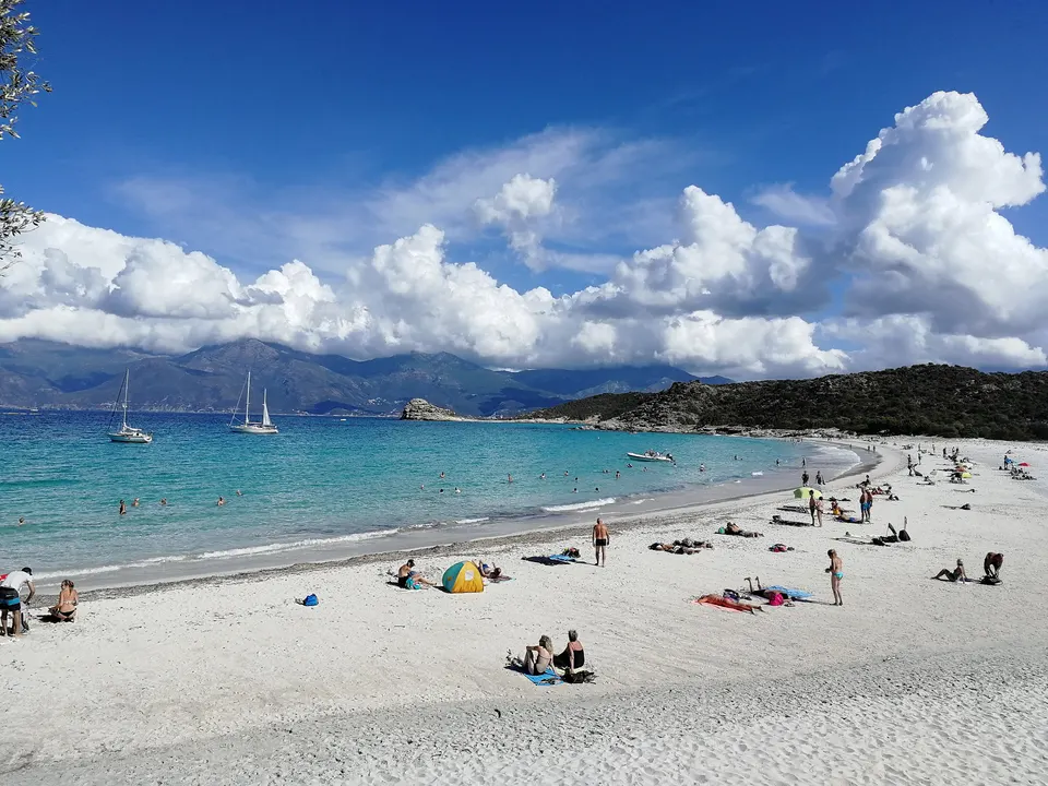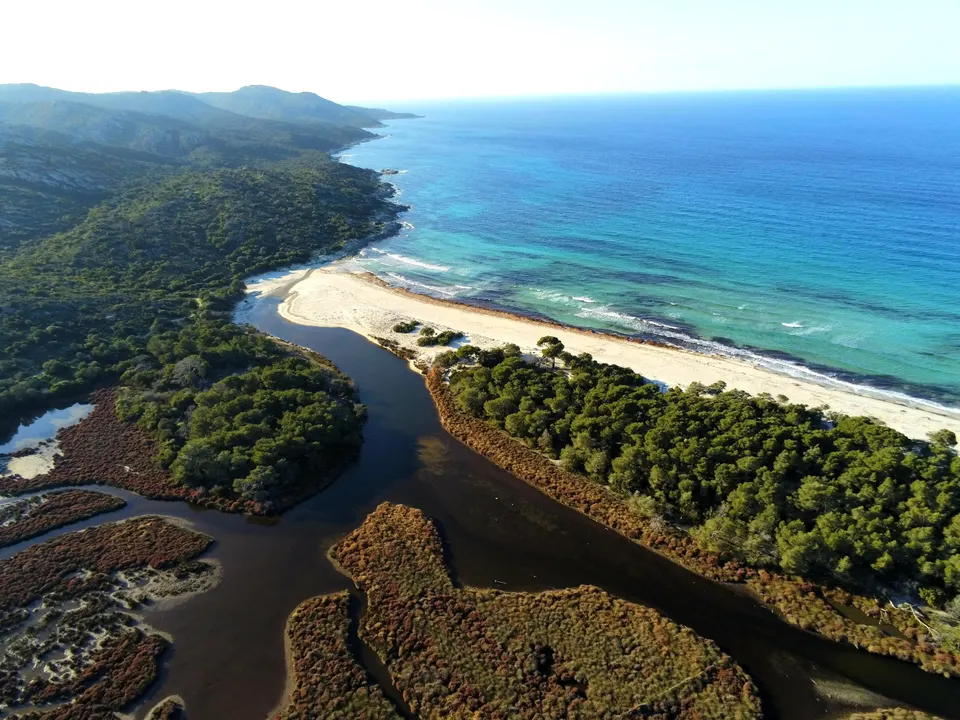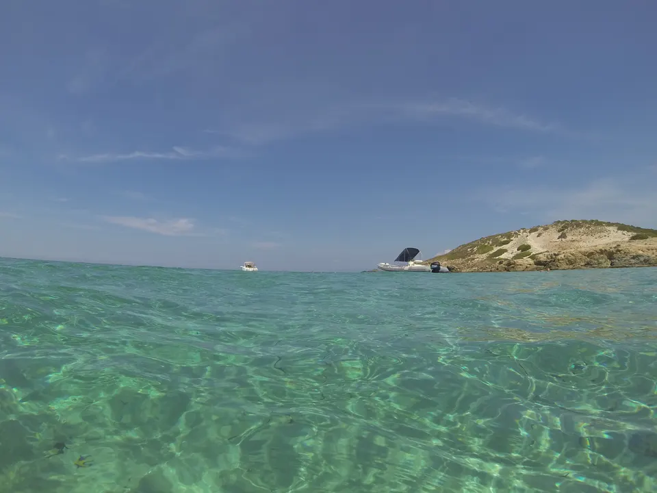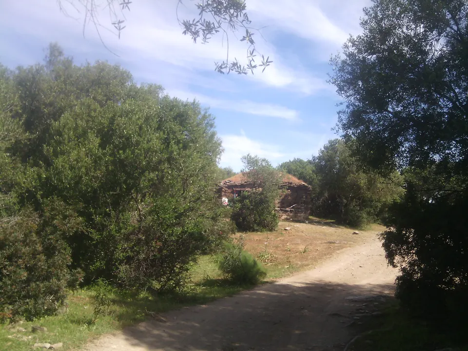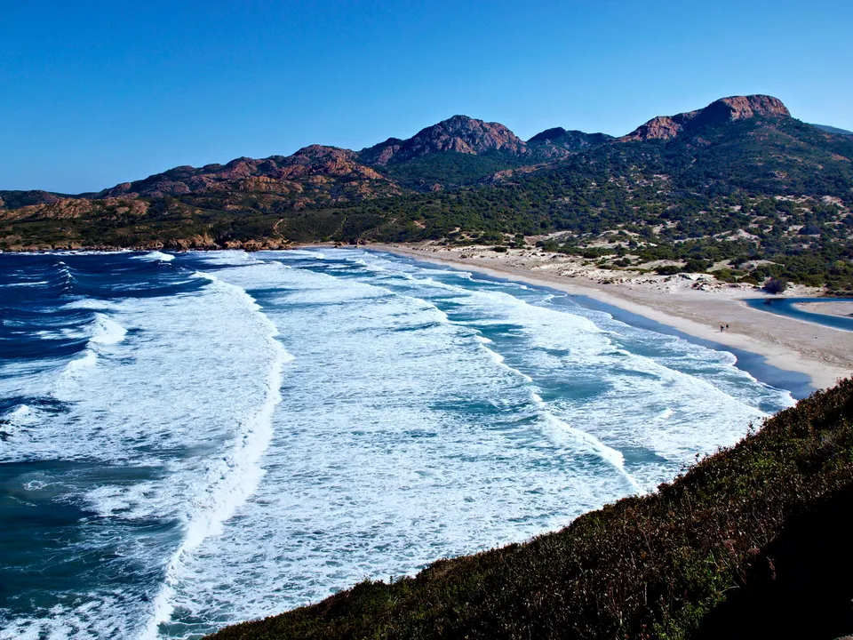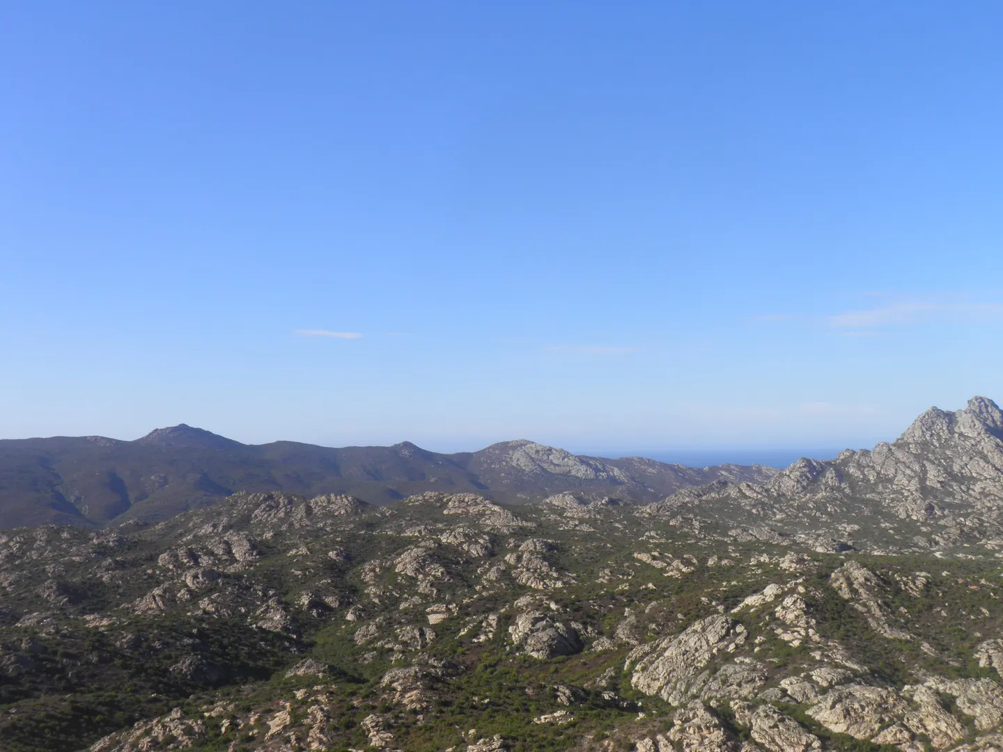
The coastal path, a former customs officers' trail, runs along the whole coast of the Agriates Desert between the Ostriconi and Roya beach in Saint-Florent. Walking it end to end takes two to three days, about 40 km, with nights at the Ghignu huts and the Saleccia campsite, the only places where sleeping is allowed. As a day walk, the most popular stretch links Lotu to Saleccia in about 45 minutes. The path is marked and maintained by the coastal rangers, but has almost no shade or water: drinking water is only found at Saleccia.
Key facts
- Three stages: Ostriconi to Ghignu (20 km, 6 h), Ghignu to Saleccia (10 km, 3 h), Saleccia to Saint-Florent (13 km, 3 h 30).
- Places to sleep: Ghignu huts and Saleccia campsite; wild camping banned elsewhere.
- Drinking water only at Saleccia according to Rectoverso; carry several litres per person in summer.
- As a day walk: Lotu to Saleccia, about 45 minutes, combined with the Saint-Florent shuttle.
The stages
| Stage | Distance | Ascent / descent | Time | Night |
|---|---|---|---|---|
| Ostriconi (car park) to Ghignu | 20 km | +450 m / -450 m | about 6 h | Ghignu huts |
| Ghignu to Saleccia | 10 km | +100 m / -100 m | about 3 h | U Paradisu campsite |
| Saleccia to Saint-Florent | 13 km | +200 m / -200 m | about 3 h 30 | Saint-Florent |
Source: Rectoverso, itinerary updated in July 2021. Walking it the other way, from Saint-Florent to the Ostriconi, is just as common.
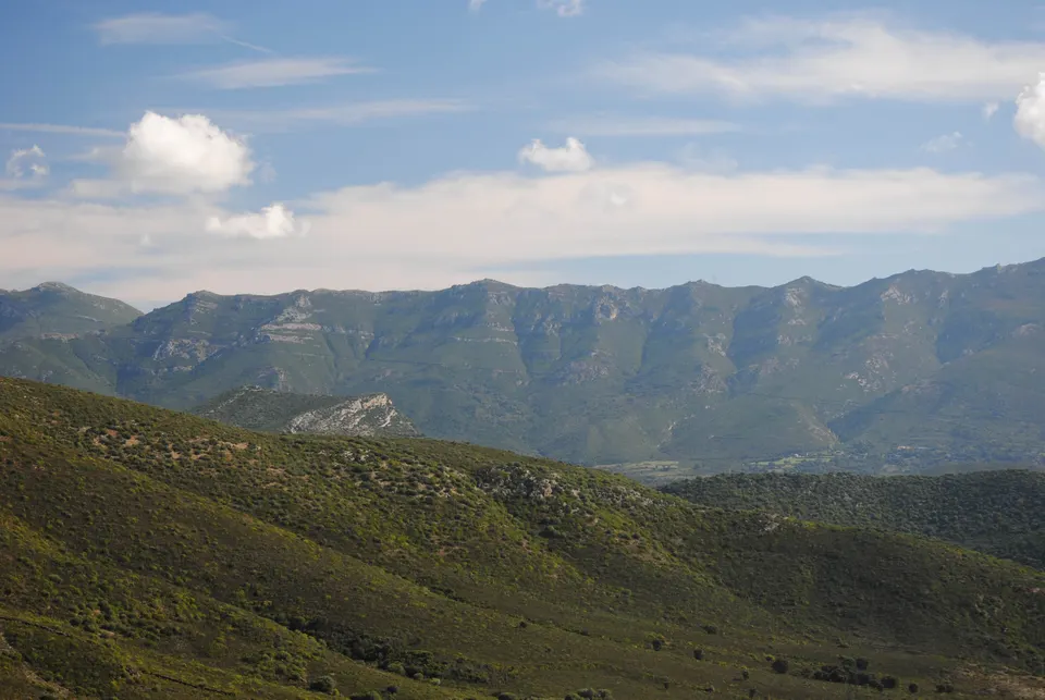
A marked trail, made tough by the heat
The path hugs the coast, goes from cove to cove and crosses a few rocky headlands. It is not technically difficult; the real challenge is the exposure. There is almost no shade, no village and, according to Rectoverso, drinking water only at Saleccia. In summer, set off at dawn and carry several litres of water per person. The Corsican regional authority’s coastal rangers maintain and patrol the path.
As a day walk: Lotu to Saleccia
This is the busiest stretch. Take the shuttle from Saint-Florent to Lotu, walk about 45 minutes west to Saleccia, and come back to Lotu or by RIB. Spassighj’Agriate sold this combination for €22 to €30 in 2026. Another option: set off on foot from Roya beach in Saint-Florent.
Nights
Only two places: the Ghignu huts, old shepherds’ shelters with no water or mattresses, and the U Paradisu campsite at Saleccia. Wild camping is banned on the beaches and Conservatoire land, patrolled by the coastal rangers. See camping and huts.
Before you go
The prefecture can ban access to the massifs during alerts: check the day before. Kit list and tips: how to plan your day. For the season, see when to go.
Book a trip
Combine walking and a tour
 From Calvi: Agriate Guided Jeep Tour to Lotu and Saleccia9 hours★ 4.6 (213 reviews)from €110Check availability
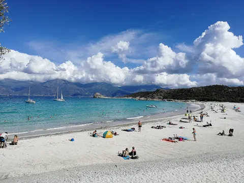 L'Île-Rousse, Corsica: catamaran day trip in the Agriates Desert7 hours★ 4.9 (133 reviews)from €165Check availability
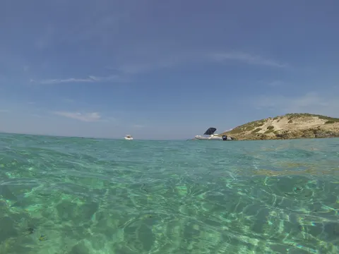 L'Ile-Rousse, Corsica Catamaran excursion: Agriates, aperitif, sunset4 hours★ 4.9 (61 reviews)from €120Check availability
"From" prices checked on 9 November 2026 and may have changed.
Affiliate links: DesertDesAgriates.com earns a commission if you book, at no extra cost to you. "Show live prices" loads the GetYourGuide module, which sets its own cookies (learn more (in French)).
Frequently asked questions
How long does the Agriates coastal path take?
Two to three days for the full crossing, about 40 km. Rectoverso splits it into three stages of 6 h, 3 h and 3 h 30 of walking.
Can you walk part of the path in a day?
Yes. The most popular option: shuttle from Saint-Florent to Lotu, walk to Saleccia (about 45 min), and back. Another: walk from Roya beach in Saint-Florent to Lotu.
Where can you sleep on the path?
At the Ghignu huts and the U Paradisu campsite at Saleccia. Camping and wild camping are banned on the beaches and Conservatoire du littoral land. See camping and huts.
Can the path be closed?
During weather alerts or high fire risk, the Haute-Corse prefecture can ban access to the massifs and trails. Check the prefecture's announcements the day before.
Sources
Information checked against the sources below. Shuttles, tracks and prices change: confirm before you go.
- Rectoverso, 3-day hike in the Agriates Desert (in French), accessed 9 November 2026
- Wikipedia, Agriates Desert: coastal path (in French), accessed 9 November 2026
- Corsican regional authority, presentation: coastal rangers (in French), accessed 9 November 2026
- Corsican regional authority, Ghignu huts (in French), accessed 9 November 2026
- Spassighj'Agriate, Lotu and Saleccia on foot (in French), accessed 9 November 2026
- Corse Net Infos, massif closures, July 2025 (in French), accessed 9 November 2026