
Independent guide · Not the Conservatoire du littoral's official website
The Agriates Desert, Corsica's wild coast between Saint-Florent and the Ostriconi
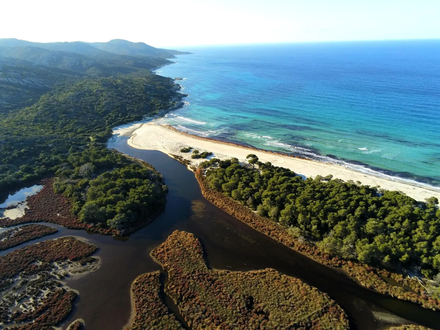
15,000 hectares of scrubland with no paved road between Saint-Florent and the Ostriconi, and the beaches of Lotu and Saleccia at the end of the tracks.
- Every fact is sourced
- Updated 9 November 2026
- Booking on GetYourGuide
Photo: Scata2b, CC BY-SA 3.0
- 15,000 haof scrub, ridges and valleys
- 37 kmof coast, almost all protected
- 1979first land bought by the Conservatoire
- 12 kmof track from Casta to Saleccia
Why the Agriates
Corsica's coast with no road and no buildings
The Agriates Desert is a 15,000-hectare natural area in northern Corsica, between Saint-Florent and the mouth of the Ostriconi. It has no paved road and no recent buildings: you reach its beaches, including Lotu and Saleccia, by boat from Saint-Florent harbour, by 4x4 along a 12 km track from the hamlet of Casta, or on foot along the coastal path. The Conservatoire du littoral owns 5,563 hectares, almost the whole shoreline, and the Corsican regional authority manages the site. Camping and wild camping are banned outside the designated places.
Our pick of Agriates tours
Travellers' favourites
-
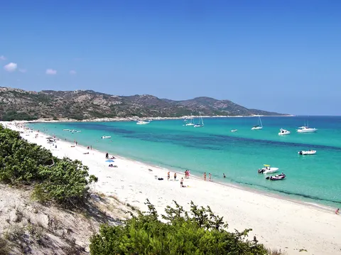 From Calvi: Agriate Guided Jeep Tour to Lotu and Saleccia 9 hours ★ 4.6 (213) from €110
-
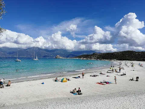 L'Île-Rousse, Corsica: catamaran day trip in the Agriates Desert 7 hours ★ 4.9 (133) from €165
-
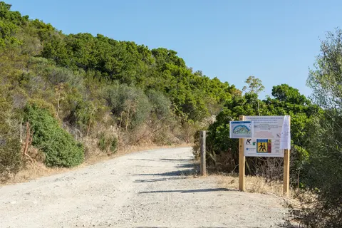 4x4 Agriates Desert and Beach Excursion from Calvi 9 hours ★ 4.5 (156) from €110
See all Agriates tours GetYourGuide affiliate links
Lotu, Saleccia, Ghignu, Ostriconi
The Agriates beaches
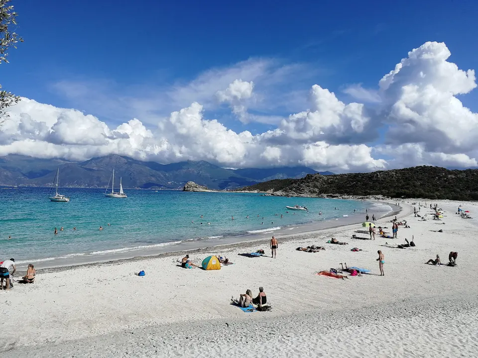
Lotu beach
The Agriates beach closest to Saint-Florent: shuttles, jetty, the path to Saleccia.
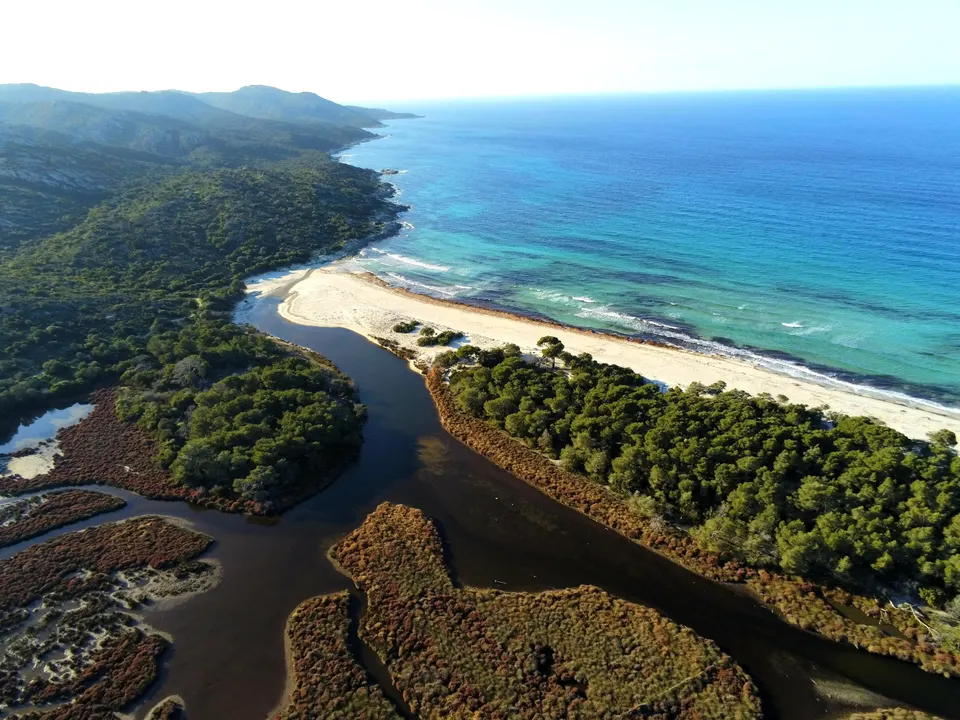
Saleccia beach
The largest beach in the Agriates: the Casta track, RIBs from Saint-Florent, campsite, beach hut.
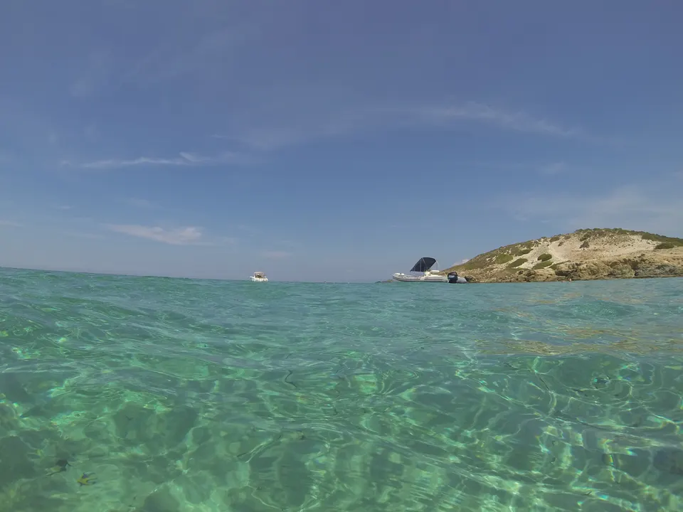
Malfalcu and Ghignu
The two coves in the middle of the Agriates: a 13 km track, Ghignu's shepherds' huts, the coastal path, boats from the west.
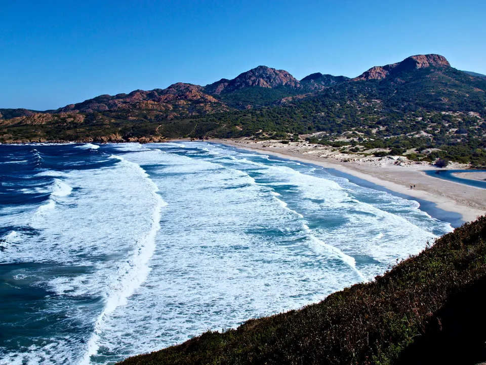
Ostriconi beach
The only big Agriates beach near the road: dunes, lagoon, river, 24 min from L'Île-Rousse.
Access, boat, 4x4, trail, rules
Exploring the desert
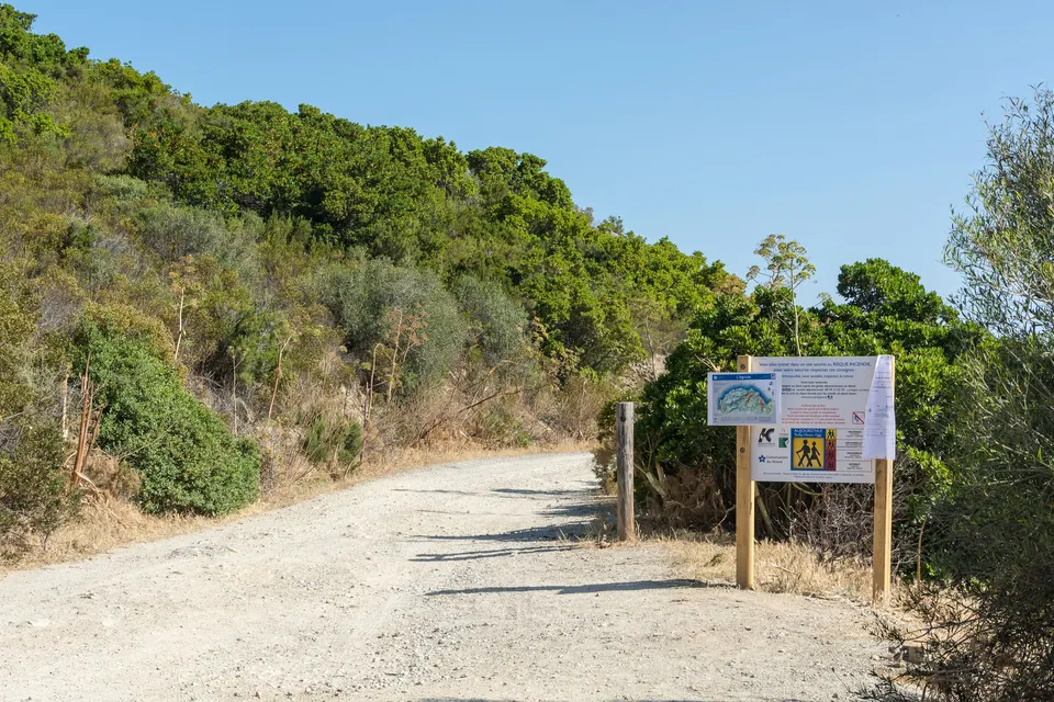
Getting there
Shuttle boats from Saint-Florent, 4x4 from Casta, the coastal path: the three ways in, their prices and their limits.
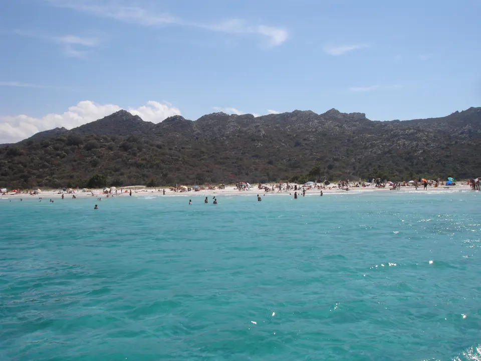
Tours
Jeep from Calvi, catamaran from L'Île-Rousse, shuttle from Saint-Florent: which trip to pick depending on where you stay.
By 4x4
The track from Casta to Saleccia, 4x4 shuttles with a driver and guided tours from Calvi.
By boat
Lotu shuttles, RIBs to Saleccia, catamarans from L'Île-Rousse: the Agriates coast from the sea.
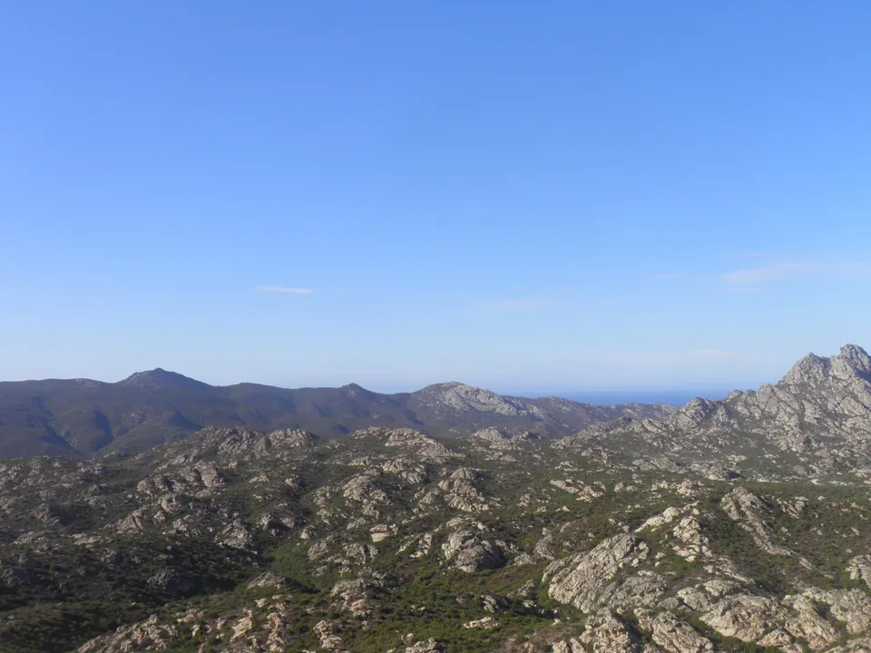
Coastal path
The former customs officers' trail: stages, times, water, nights at Ghignu and Saleccia, and the Lotu to Saleccia walk.
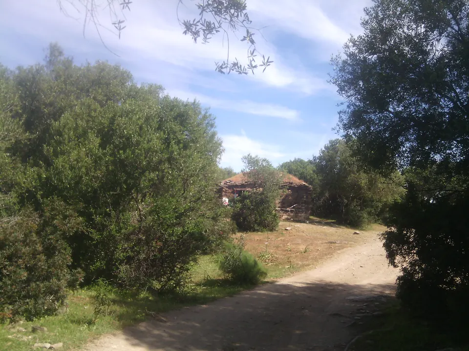
Camping and huts
Where you can spend the night in the Agriates, and why wild camping is banned.
When to go
The months when the shuttles run, the days the tracks close, and the best time to avoid the crowds.
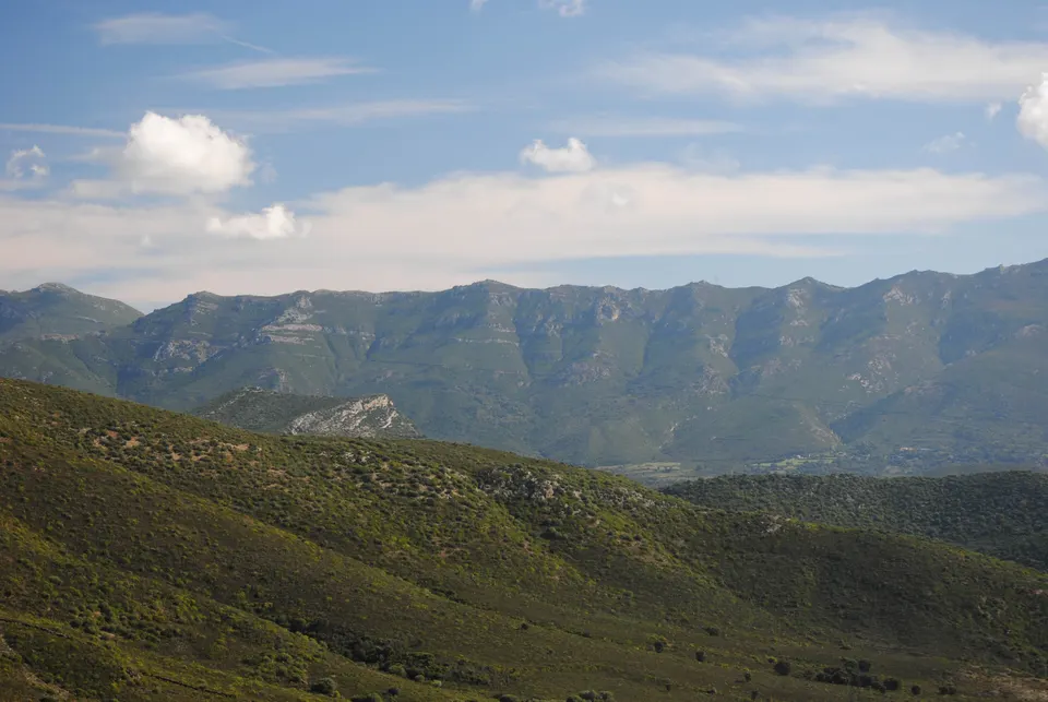
Day trip tips
What to bring, the times not to miss, and the rules of a protected site with no water and no shops.
Activities
4x4, boat, catamaran, hiking, paragliding, wine, diving: everything you can do from Saint-Florent and the Balagne.
The harbour, Patrimonio, Calvi, Scandola
Saint-Florent and the Balagne
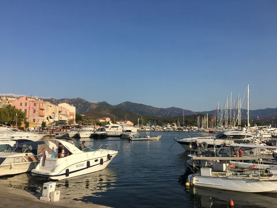
Saint-Florent
The harbour, the citadel, the Nebbiu cathedral, Roya beach, the Mortella, and trips by sea or by air.
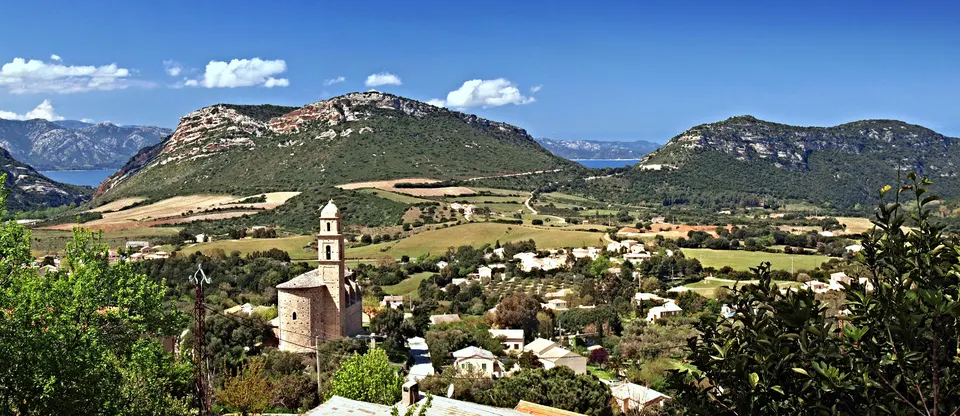
Patrimonio
The Patrimonio AOC: seven villages, nielluccio and vermentinu, 36 winegrowers, 10 minutes from Saint-Florent.
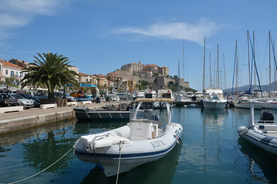
L'Île-Rousse and Calvi
The two Balagne towns where catamarans and jeeps leave for the Agriates, and what to do there.
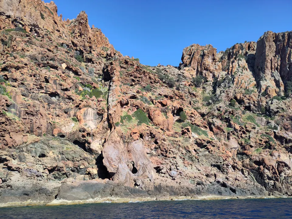
Scandola from Calvi
The Scandola reserve, a UNESCO site, can only be seen from the sea: boat trips from Calvi, durations and prices.
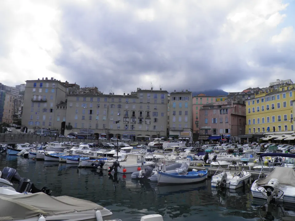
Getting to Corsica
Bastia and Calvi airports, Bastia and L'Île-Rousse ferry ports, car hire and driving times.
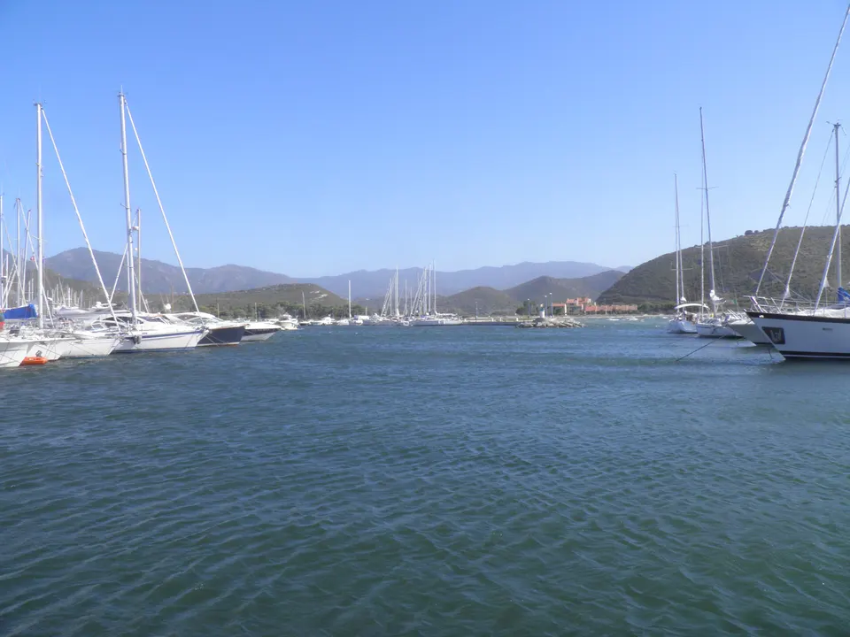
Where to stay
The right area for the beach you are after: Saint-Florent for Lotu and Saleccia, L'Île-Rousse for the Ostriconi.
The guide in detail
A desert of scrubland by the sea
The Agriate (its Corsican name, in the singular) stretches below the Tenda massif between clear limits: the D81 road to the south and the sea to the north, Roya beach at Saint-Florent to the east and the mouth of the Ostriconi to the west. It spans four municipalities: Santo-Pietro-di-Tenda, San-Gavino-di-Tenda, Palasca and Saint-Florent.
| Fact | Figure |
|---|---|
| Area | 15,000 ha, of which 5,563 ha bought by the Conservatoire du littoral since 1979 |
| Coastline | 37 km, almost all owned by the Conservatoire |
| Highest point | Cima d’Ifana, 479 m |
| Management | Corsican regional authority, 9 coastal rangers |
| Access to the beaches | boat, 4x4 or on foot, no paved road |
| Only inhabited village | Casta, on the D81 |
Sources: Corsican regional authority, Wikipedia.
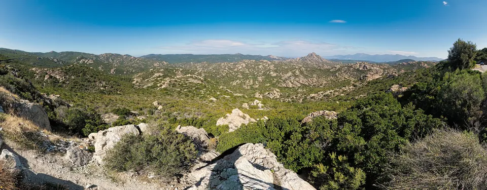
The landscape is made of granite ridges, low scrub (rockrose, strawberry tree, mastic) and valleys running down to pale sand beaches. The word “desert” is recent: until the early 20th century, villages from the Nebbiu, Cap Corse and the Balagne grazed their flocks here and grew wheat and olives. Their dry-stone shepherds’ huts, the paillers, still stand.
The beaches
- Saleccia: the largest, a curve of white sand lined with pines, at the end of the Casta track.
- Lotu: the closest to Saint-Florent, served by the shuttle boats.
- Ghignu and Malfalcu: in the middle, remote, reached by 4x4 or on foot.
- Ostriconi: to the west, the only one close to the road.
Getting there
This is the first thing to plan. The boat from Saint-Florent is the easiest way to Lotu. The 4x4 with driver from Casta goes to Saleccia. Day tours also leave from Calvi and L’Île-Rousse. Everything is compared in Agriates tours and explained in getting to the Agriates.
A protected site with its own rules
Camping and wild camping are banned on the beaches and Conservatoire land, as is driving off the open tracks. Fires are banned. In summer, the prefecture can close the tracks on days of very severe fire risk. Before you go, read how to plan your day: there is no water and no shop along most of the coast.
Frequently asked questions
How do you get to the Agriates Desert?
Three ways: the shuttle boat from Saint-Florent harbour to Lotu (and Saleccia), a 4x4 with driver from the hamlet of Casta on the D81, or on foot along the coastal path. A hire car should not be taken on the tracks. See getting there.
Why is it called a desert?
It is not a sand desert: it is uninhabited scrub and granite country, a name that appeared after the First World War. According to the Corsican regional authority, these lands fed shepherds and farmers for centuries.
Can you camp in the Agriates?
Not on the beaches or on Conservatoire du littoral land. The only places to spend the night are the Saleccia campsite and the Ghignu huts, former shepherds' shelters. See camping and huts.
What is the most beautiful beach in the Agriates?
The best known are Saleccia, a long white-sand beach lined with pines, and Lotu, the easiest to reach by boat. Ghignu and Malfalcu are more remote, and the Ostriconi lies to the west, near the road. See Saleccia and Lotu.
Sources
- Corsican regional authority, Agriate website, presentation (in French), accessed 9 November 2026
- Corsican regional authority, Agriate website, home (in French), accessed 9 November 2026
- Corsican regional authority, Agriate regulations (in French), accessed 9 November 2026
- Wikipedia, Agriates Desert: tracks, protection, history (in French), accessed 9 November 2026
- Spassighj'Agriate, shuttles to Lotu and Saleccia (in French), accessed 9 November 2026